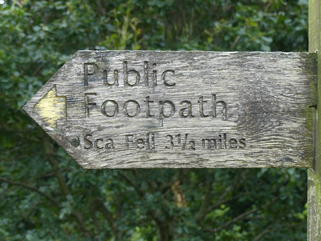
It was good to wake up to find it clear but with some cloud cover, so definitely cooler than yesterday's inferno.After a short drive from the campsite I arrived at the NT Wha House farm car park, which was a great start point for this walk.
Right from the start the path was climbing with great views back to Eskdale. For most of the way the path was fairly well defined except for the section around Cat Crag. I just took a few waypoints around here to make sure on my return journey I could find the correct path.
 |
| Slight Side in the clouds |
 |
| Looking back to Harter Fell - tomorrow's target |
 |
| Slight Side |
 |
| Looking back towards Eskdale |
After a steady pull I arrived at Slight Side summit which required some scrambling to the two rocky outcrops competing for the highest point.
 |
| Slight Side summit |
 |
| Burnmoor Tarn |
 |
| View from the top |
After a short break for water and photos I set off along Long Green to the summit of Sca Fell, England's second highest peak.
 |
| Approaching Sca Fell |
 |
| Burnmoor Tarn from the top |
 |
| looking back to Slight Side |
 |
| A glimpse of Wast Water |
 |
| Sca Fell summit |
 |
| River Esk Valley |
 |
| Cam Spout Crag |
I returned via the same route enjoying the magnificent views all the way back down to Eskdale.
 |
View of the hardknott pass on the way back down.
Fantastic to get these two fells completed and a lot better conditions for walking compared to yesterday.
About 8 miles. OS OL6.
|


No comments:
Post a Comment