Lots of walking stuff

Monday, 18 June 2012

Kinder Scout - Mud , Sweat and Tears - June 17th 2012

It has been a least a couple of years since I had climbed Kinder via Grindsbrook Clough, so after a couple of really wet days on Friday and Saturday, Sunday was my last chance this weekend.

 
With Grinds Brook magnificent in full flow, I really enjoyed this scramble, and was really pleased to find it took me exactly one hour from leaving the car park at Edale to the top of Grindsbrook Clough (and that included stopping for photographs). After stopping for a break at the top for a drink and to soak up the views I set of on the Western edge path towards Crowden Tower.

Start of the walk

way up Grindsbrook
Top of Grindbrook Clough coming into site
Grindsbrook in full flow

The last time I did this ascent I also did the plateau crossing to Kinder downfall. This was with Richard, and I don’t recall any drama or difficulty. So I thought I’ll give this a go on my own. I remember following the stream path up from Crowden tower and pretty much following it is a north westerly direction until you hit the wide sandy bed the river kinder which takes you to the downfall. However, the big difference between then and today is that was in the middle of a hot dry spell and this was after and extremely wet spell. This resulted in about 90 crappy minutes making the crossing.
Entrance to Hell

Pretty soo I had to leave the stream bed as it had turned into a steep peat grough with plenty of water in the bottom. This is where the problems started…in order to make any progress I was up and down the groughs and across open boggy ground. As the peat was soaking I was soon regularly in up to my thighs. This is a very exhausting way to make any progress. After a while I saw what I thought was the start of the wide sandy bed of the river Kinder, so after a slow  bog trotting journey I arrived at a small rock outcrop – not the river Kinder. There were two sheep there…how did they get there and why were they there….a small rocky island in a sea of peat bogs !!!


I then had a panicky ten minutes or so as all options from here looked difficult, and my compass and GPS didn’t seem to agree where North was. I set off and soon got stuck in the peat, so I retreated back to my island. I checked the grid point on the GPS and I was pretty much where the non existent path was supposed to be. Was I going to have to call out a rescue ?. After a while I got my brain in gear. Sat down on a flat rock, had a drink of water and got the map out. I put the grid reference for Kinder Downfall into my Garmin and clicked on ‘navigate to’.  Confident I was heading in the correct direction I set of on a bee line to my target. This took quite a long time as I ws continuously having to negotiate a safe way around the more treacherous patches of peat and steep groughs. I used my walking pole as a probe before setting foot down.

Kinder Downfall with the water blowing back


Eventually, I arrived at the sandy river bank and that final walk to the downfall was quite enjoyable as the ground was a lot firmer. My boots and feet were soaking – I had left my gaiters in the car as one had a stuck zip and I didn’t have a pen knife to fix it !! At no point in that crossing did I see anyone until I got close to Kinder Downfall.


A nice pit stop at Kinder downfall fro some lunch and to enjoy the view. The rest of the walk was uneventful, but very enjoyable. Along the edge to Kinder Low trig point, and then Swines Back, Jacobs Ladder, Upper Booth and then back to Edale. Surprisingly, I still felt I had something in the tank at the end of this – I must be getting fitter!!

Kinder Low


On my return home there was a Fathers day gift from my daughter – Bear Grylls autobiography – ,Mud , Sweat and Tears’ – a very appropriate end to my day.


So, another great walk on Kinder. I am really glad I got myself out of the pickle on top. I think for the future plateau crossings, I will do with other companions, and probably in drier conditions.


Around 10 miles (allowing for the backwards and forwards and ups and downs on the plateau) OS OL1 Dark Peak

Thursday, 14 June 2012

Crich 10th June 2012

I have done this walk several times before, so I thought I would try a slight variation which I think actually improved the walk.
So instead of parking at Ambergate station, I drove on up the A6 and found a small lay-by / rough patch next to a gate on the right (driving towards Cromford). I parked there and then over the stile and a short track brought me to Cromford canal. Exactly the same route as previously but this splits the canal section in half – 1 mile at the start and 1 mile at the end rather than the whole stretch at the end. Also, no car parking fee.
Along the canal path towards Ambergate , and then across the third bridge and follow the way marked path through Crich Chase. At the top edge of the woods turn right through a stile across two fields. Right on Chadwick Nick lane for about hundred yards and then take the path to the left across the fields to Crich. Path eventually ends in Crich, not far from the Market square. Left at the market square and then right to Coasthill which eventually end in a footpath. Follow this across two fields, and then right down the road with the entrance to the tramway village. Follow road around to Crich Stand.  Sat down there for a drink of water and to soak up the fantastic view across South Derbyshire
The footpath leads around the top of the quarry and drops down across the tram tracks. Path drops down past Wakebridge farm to the road. Cross road and footpath continues just to the right. Follow path down through woods, along the side of a small river for a while and then past old quarry workings before reaching Cromford Canal. About a mile along the path back to the car.

This one is a good walk with plenty of interest and variety. Woods, river, canal, old quarry workings, great views, and about 650 feet of uphill.
Pictures to follow

From Crich Stand looking over to Alfreton

 
About 6.5 miles OS  OL24 White Peak

Tuesday, 5 June 2012

Ingleborogh - Ingleton Waterfalls walk 2nd June 2012

Weekend away with a large family group at Ingleton staying in a lodge. Nearly fifty folk there including kids. No one else was up for a walk, so I thought the best way to get one in without buggering off on my own for the day would be to get up early and do one while everyone still asleep.
Climbing up Fell Lane looking back to Ingleton

First view of my target for the morning

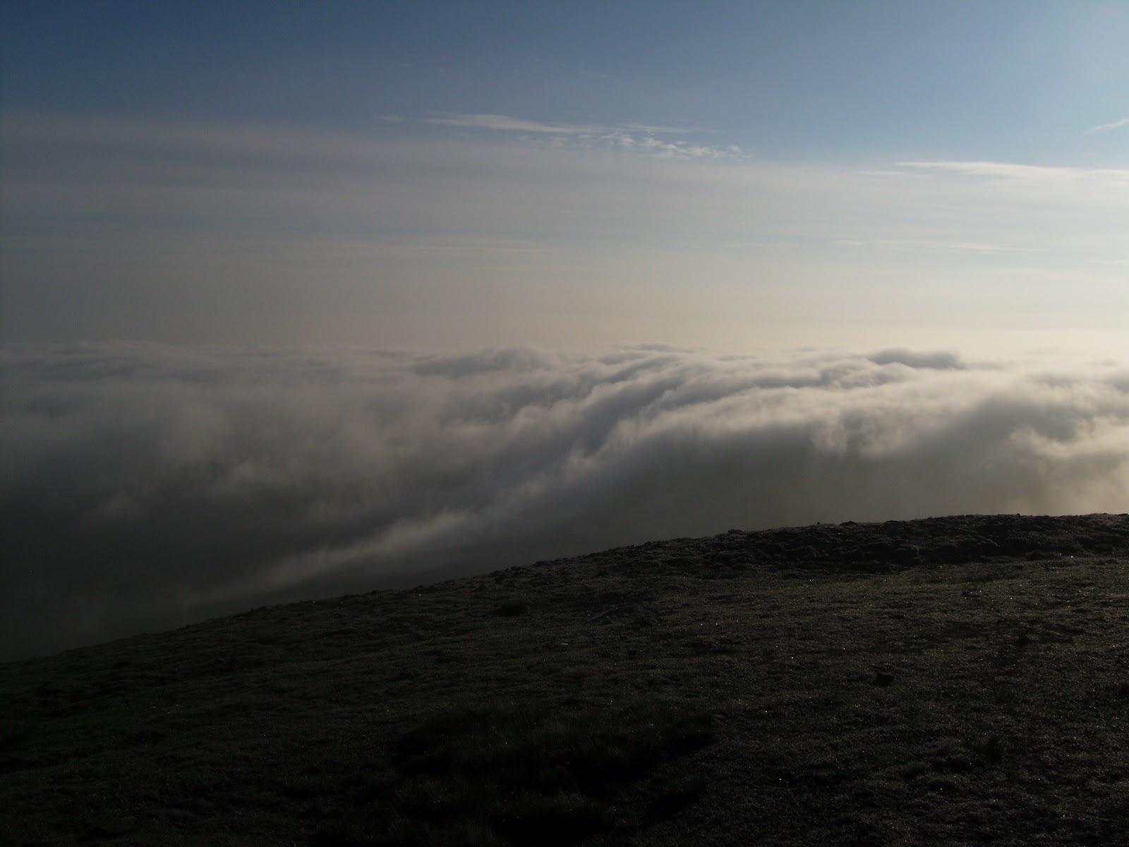
As it turned out I couldn’t sleep on the hard bunk, so getting up at 5AM was easy. Cup of tea while I got my gear together and then I was off for 5.15. Walked into town and then out along the Hawes road. The footpath was a few hundred yards on the left. It is a good quality track marked as Fell Lane on the map. Navigation very easy , with a steady gradient all the way and the last mile becoming a little steeper. The last hundred yards was a bit of a scramble opening up onto  large grassy plateau, which I had all to myself. Spectacular clear views to the west and to the east the valley completed filled with cloud. I took a few pics, and on one  you can just see the summit of Whernside sticking out above the clouds. Short break at the cross shelter and then a stroll along the eastern edge of the plateau looking for the path down to Horton. Soon found it and off on the descent which soon opened out to a stunning landscape of lime stone paving. By this time there were a few folk on the way up from Horton. Around 9 AM I could see Horton in the valley below, so I rang Anne who was going to drive over from Ingleton to pick me up.
The summit trig point
cloudscape from the summit looking East / North East
Whernside summit just above the clouds
Limestone pavement on the descent to Horton


Walked through the village to the Pen-y-ghent cafĂ© where lots of three peakers were setting off. I would have loved to do Pen-y-gent but as it was a family weekend not possible this time. Anne picked me up and we headed back to the lodge for bacon and eggs…I seem to be making a habit of these early walks before breakfast.

 
Another great linear walk, and a fell I would like to do again – from a different route so I can go and visit Gaping Gill the large open pot hole on the southern  flank. Also I would like to attempt the three peaks.

After breakfast , it was boots on again for the Ingleton waterfalls walk with Anne (my wife) and Janet and Rick. Including the walk to and from the lodge to the start of the walk , about another 6 miles covered. This is a beautiful walk which I have done a couple of times before , and it never disappoints - see the pics.
  

Its that woman again - following me !


About 10 miles (up and down Ingleborough) plus 6 miles (Waterfall Walk)

OS OL 2 Yorkshire Dales South western

Wednesday, 30 May 2012

Scafell Pike – Great End 26th May 2012

First time on the big one !

On the way up the side of Seathwaite Fell looking back


I set of from the YH at Honister Hause early (5 AM) and got a good parking spot at Seathwaite. After yesterdays adventure in the heat, I thought an early start in the cooler morning would be a good idea (plus plenty of water !!).
Styhead Tarn at 7AM - beautiful


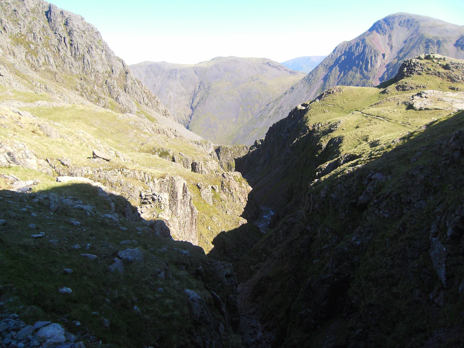
Along the path to Stockley bridge and then up and around  the flank of Seathwaite Fell towards Styhead Tarn.  I reached the Tarn for 7.00AM  and stopped for breakfast and a rest.  Just after setting off I had a navigation malfunction (just after the stretcher box), which lost me about 30 mins. Eventually I found the start of the corridor route, and set off….an interesting and varied path with great views all the way.  There were a couple of ‘bad steps’ to negotiate where the path stopped and a scramble down was required. I think this direction would be easier than going the other way. Eventually I got to the final turn from the path to the summit (lingmell col I think) which was well marked with a series of summits, and also a stream of people coming down (and I thought I had set off early). This last climb was a slog of several hundred feet over loose rocky  ground.

hmmm


The summit was like Clapham junction !! – Charity groups, 3 peakers, normal folk like myself……hmmm. Very windy but with clear views all around….the Irish Sea was clear and blue on the horizon. I did consider Sca Fell at this point but decided that with a five mile return and yesterday’s aches and pains, that I would leave this for another day.
Looking down from the corridor route


From the summit I headed off towards Broad Crag and Ill Crag as the plan was to head down via Esk Hause. There isn’t much of a path and due to the uneven rocky ground going is slow. At Esk Hause I took the short detour across the plateau of Great End to the summit, with great views down to Borrowdale and Derwent Water.

On top of England


Back down to Esk Hause where I dropped down to pick up the path down to Seathwaite and another descent with spectacular views down the valley.

From Great end Summit loooking down to Borrowdale


Eventually I reached Stockley Bridge and back along the starting path to the car.

Esk Hause

A fantastic way to spen a sunny Saturday morning

About 11-12 miles

OS OL 6 English Lakes South western

Haystacks – High Stile Ridge – Buttermere 25th May 2012

Day 1 of a two day stay in the Lakes. I arrived at the Honister Pass Youth Hostel around 10 AM , sorted out my kit and then I was away at about 10.20.


Weather – Hot and Sunny with a light breeze. Followed the path at the back of the Slate mine car park up to Haystacks. Not too much of a height gain to get to Haystacks summit as Honister Pass is at 356 m….so a nice easy start to the day. As Wainwright describes this is a beautiful fell. Two mountains tarns at the base of it and a small one at the summit. I sat next to this one and ate my lunch…glorious sunshine , a little breeze, great views…I am on happy bunny !!.  However, the rest of the walk was somewhat more strenuous.
Blackbeck Tarn
Haystacks summit tarn


 If there is a path down from Haystacks to Scarth Gap Pass, I couldn’t see it, so I scrambled down, and faced with the daunting view of the climb up to High Crag – I must admit at that point and in that heat I nearly bottled it – got the map out and looked to see what alternatives I had – maybe a walk down the valley to Ennerdale. I then reminded myself that these opportunities don’t come that often so once I had negotiated the smaller fell of Seat off I set up the zig zag path to the top of High Crag. Once I got going it didn’t seem too bad, but I realised I had made a big mistake with the amount of water I had brought…only a litre in this heat…idiot.
High Crag looks a bit....well high from this angle


Once on High Crag Summit you are rewarded (as usual in the Lakes) with spectacular views all around Buttermere , Robinson, Fleetwith Pike, the Scafell Range, Pillar…brilliant.

Buttermere from the ridge


The walk along the ridge to High Stile and then Red Pike was fantastic. I had made the decision that I would drop down to Buttermere and head back that way rather than return via the route out. The descent from Red Pike to Bleaberry Tarn was steep (and scary) The red clay / shale was very loose, and I was glad I had one walking pole with me. I ended up on my backside several times, but got down safely. Bleaberry Tarn is a beautiful and peaceful spot…a good place to catch my breath and enjoy the view.


The zig zag path down the valley side eventually came out at the West end of Buttermere. By the time I got there all my water was gone. I didn’t realise how bad real thirst is (cracked lips, dry throat etc). I won’t make this mistake again. The highlight of the walk around Buttermere was a red Squirrel. I got pretty close to it , but the pic I took didn’t come out. From Gatescarth I took the long slog up the Honister pass to the YH. I didn’t have anything left in the legs to do it via Fleetwith Pike.
Bleaberry Tarn


Apart from the thirst, a spectacular walk.


Around 13-14 miles

OS OL 4 Lakes North Western

Saturday, 19 May 2012

Derwent Edge 13th May

With Richard F.

Met Richard at Fairholmes car park, and started with a nice easy leg of the walk along the Western Shore of Ladybower. Short walk along the A57 over to the other side of ladybower.


Then up the footpath to Ashopton and Whinstone Lee Tor. It is a short sharp climb and then you are rewarded with fantastic views across Ladybower, Win Hill and Kinder scout in the distance. We followed the well defined path to the Wheel Stones and then onwards as far as Back Tor. After a short break we headed back the way we came before taking the path downwards towards the resevoirs.....so slightly different from the planned route above. We just followed what seemed to be the most obvious footpths (ignoring the map) and eventually this brought us down to the Eastern shores of Ladybower about half a mile down from Fairholmes. Walking past Derwent Dam we noticed it was full with water spilling over the top....so much for a hose pipe ban!! Nice easy walk back along the road and a cup of tea at Fairholmes.

Pics to follow

About 10 Miles OL 1 Dark Peak 

Saturday, 5 May 2012

2rd May – Scar Crags - Sail

We had planned a day at the seaside today. As the weather forecast was so good I got up at 6.00 for an early walk before we set off for St Bees.


Up the miners track as far as Outerside. Then take the path (not on the map) up to the ridge between Causey Pike and Scar Crags. Along the ridge to Scar Crags, which has a surprising flat summit plateau. It is mornings like this which remind me why I do this. It was calm , sunny, I was the only person on the fell, and there was a spectacular panoramic views all around. Towards Derwent Water and the Skiddaw range there was a low mist with the peaks still visible. Hopefully some of the pictures do this justice.


Ridge approach to Scar Crags


Sail from summit of Scar Crags

Misty Mountains


From there follow the path down to Sail pass, and then up the zig zag path to the summit of Sail. As soon as I reached that summit I was confronted with the mass of Crag Hill…tantalising close. However, looking at the steepness of the climb, with possibly some scrambling, I decided to decline, as I had promised Anne I would be back at the cottage for 10.00 AM. So just a picture of Crag Hill today…I’ll be back another day to do that one.
Crag Hill - so near.....

Back down to Sail Pass and then follow the track (bit scary in places) down to the miners track and then back down to the cottage.

 8 Wainwrights for the week……only another 197 to go !!

 About 7 miles  -  English Lakes OL4

Big Moor - Totley Moor 17th July 2026

 According to the forecast this was going to be the last day of the current heat wave. I arrived at the layby onn the Sheffield Road above B...