Lots of walking stuff

Monday, 27 February 2017

Kinder Scout Northern Edge 17/02/2017

A brilliant winter walk along the North Edge of Kinder Scout. I haven't done this route before. The start point was the small car park on the A57 near the Snake Inn. Cross the road for a short distance before meeting the road again. After a short stretch along the road , the walk started properly at a stile opposite the Snake Inn.


Warning for dog walkers  - this is not a stile for dogs...I had to lift (an already muddy) Meg over. After a few hundred yards along the banks of the River Ashop I took a right which follows the Fair Brook up to the plateau.

The walk up the valley was a delight.


Once onto the plateau the route was straightforward apart from occasional stretches of bog trotting ...heaven if you are a dog !!


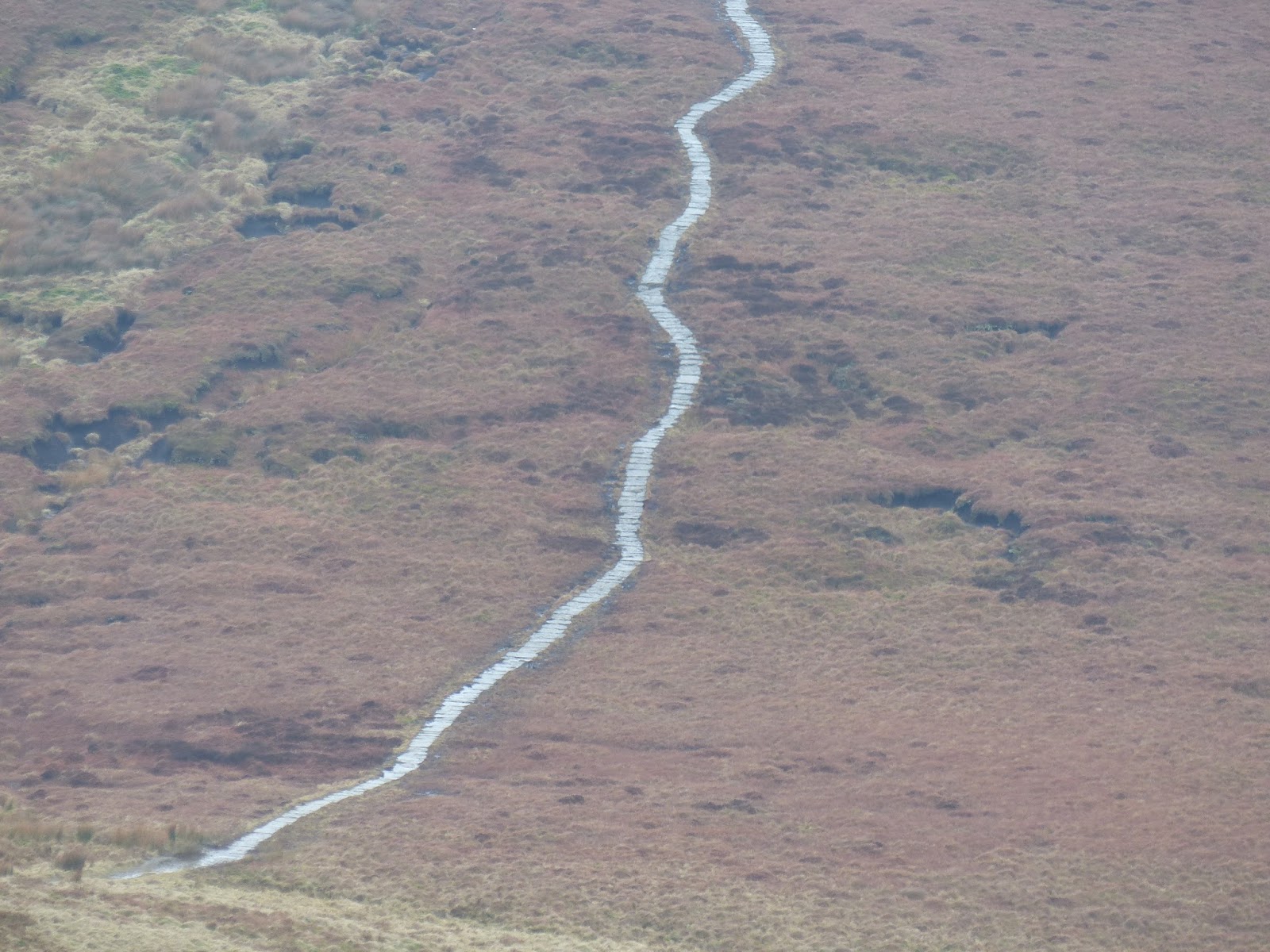
The edge path fizzles out just before the pennine way which can be clearly seen dropping down to the valley and climbing up the other side.


At the crossroads I took a right turn which headed back along the valley on the Snake path. 

The plateau edge from the valley

Me and my muddy friend

There were some very soggy , muddy stretches on this last phase of the walk.

An excellent outing. About 9 miles OS OL 1


Black Rock 27th January 2017

Bit of a slow start this year with regards to 'big' walks. I have been doing plenty of local walks with Meg, making use of the new network of paths into Shipley park as part os the open cast recovery.

Anyway this was a cold January morning  starting at Cromford - along the canal towpath to the High Peak Junction - up the hill to Black Rocks - Round walk and then back to the High Peak trail and down again.


About 5.5 miles OS OL 24


Monday, 26 December 2016

Branstree Selside Pike 17 Dec 2016

Last trip to the Lakes for 2016, and Meg's first two Wainwrights.

Couldn't sleep the night before, so I set off at silly o clock. When I arrived at Mardale head car park it was still dark!!


The route was fairly straightforward. Up the Gatescarth pass, and then swing left following the fence line up to Branstree. The path keeps to the fence line along the ridge and then dipping and up to Selside Pike summit. From there I followed the (faint at times) path which meets the old Corpse road. The lakeside path was closed , so I walked along the road for the last mile, which was fine as there was very little traffic


A glorious clear day.

OS OL 5 - 6 miles.

Tuesday, 15 November 2016

Crich 28/10/2016

No apologies for repeating this one (first time for Meg). It is easy and not too far to get to the start.

Same route as normal - pics below


Straight into the canal


Bath time when we got home 


Riggindale Ridge 23/09/2016


November the 15th today, so a long time since I posted.

This was my last trip to the Lakes - a magnificent walk up the Riggindale Ridge from Haweswater taking in 5 Wainwrights.


Mardale Head is a magnificent place at the top of Haweswater reservoir with stunning views of the surrounding fells. It is also a sad place as the remains of the dry stone walls of the old village of Mardale can still be seen in the shallows of the water. 

Even though I got there early (before 8 AM having got up at stupid o clock) there were some campervans already there.....maybe that will be me next year !

The navigation was excellent thanks mainly to 'Walk the Lakes'. I have started using their guides on these walks and they are excellent at picking out the details of vague paths - particularly the one near the start that rose through the bracken to get on the ridge.

View of the car park from my climb to the ridge

Haweswater Res
The other sadness was the notice down in the car park that the resident Golden Eagle was no longer there ( a solitary male who had been gracing the skies around this ridge for over a decade). The stomp across the ridge was superb...just as I was getting to the last pull up to the High Street ridge the clouds dropped making the final climb look like a stairway to heaven.
Stairway to Heaven

Blea Water

Looking back to Rough Crag


Eventually, I arrived on the high ground. High Street visited for the second time around (that list is growing). From there in wispy hill fog which finally cleared I walked along to Rampsgill Head enjoying the magnificent views down Riggindale Valley.


Rampsgill Head

Riggindale

From Rampsgill Head I had a look at the map and backtracked west to 'bag' the Knott, where I had a chat with one of the few walkers I saw this day. Then back to Rampsgill Head and north to High Raise , where I had a well deserved rest and bite to eat, enjoying the views and silence.....I love this place !

From High Raise the path descended towards Rampsgill Head but then veered off to the left towards Kidsty Pike, my final Wainwright of the day.
Knott Summit
Kidsty Pike from the Riggindale ridge

High Raise Summit


From the summit of Kidsty Pike I followed the path down to Haweswater, over the Rigg and back to the car park.


What can I say, that I haven't said before...a rough, tough walk with stunning , magnificent views.

OS OL5 around 9.5 Miles

Saturday, 13 August 2016

Crinkle Crags 30/7/2016

The plan was to do Crinkle Crags and then Bowfell (with a possibility of Rosset Pike). Ah well, plans for Lakeland walks don’t always work out…

I parked at the NT car park in Great Langdale just after 8 AM (another silly o clock start). The route was the clockwise one along Oxendale and then up Brown Howe. Glorius views all the way up. The climb up Brown Howe up to Red Tarn was relentless, and I was glad to get to Red Tarn for a break and a check of the map.


Desination ahead as I leave the car park

From there it was alomg the well defined path past Great Knott to the start of the Crinkle Crags ridge.

The rain started during the last ½ mile to 1 mile before the start of the ridge, but just as I stepped onto Crinke 1 I could see the mist rolling in from the west. By the time I got to the top of Crinkle 1 visibility waas about 20 – 30 yards. I decided to crack on and could just about make out Crinke 2 looming in front of me at the small hause between the two fells.  I opted for the left hand path that skirts around the side of the fell avoiding the bad step. Fairly soon I was at the summit of Crinke 2 which is the actual summit of Crinkle Crags. Remembering everything I had read about the indistinct path and avoiding the ridge in mist, I made the decision to do a U turn and head back the way I came.

Approaching Crinkle 1


Langdale Pikes


Crinkle Crags summit
As I lost some height the mist cleared and I could clearly see Cold Pike and Pike O Blisco ahead. I couldn’t figure out wher the path was to get to the top of Cold Pike , so I opted for the consolation prize of Pike O Blisco. This was a steep push to the top, byut I was rewarded with fine views from the top down to Langdale and across to the mist covered Crinke Crags with Bowfell occasionally appearing as the mist scudded across.

View from the top of Pike O Blisco

Pike O Blisco Summit
From there it was back  to the path which descends Brown Howe and then back along Oxendale , Stool End Farm and back to the car park.

Despite the change in plans another excellent trek.

About 10 miles OS OL 6

Big Moor - Totley Moor 17th July 2026

 According to the forecast this was going to be the last day of the current heat wave. I arrived at the layby onn the Sheffield Road above B...