Lots of walking stuff

Tuesday, 15 November 2016

Riggindale Ridge 23/09/2016


November the 15th today, so a long time since I posted.

This was my last trip to the Lakes - a magnificent walk up the Riggindale Ridge from Haweswater taking in 5 Wainwrights.


Mardale Head is a magnificent place at the top of Haweswater reservoir with stunning views of the surrounding fells. It is also a sad place as the remains of the dry stone walls of the old village of Mardale can still be seen in the shallows of the water. 

Even though I got there early (before 8 AM having got up at stupid o clock) there were some campervans already there.....maybe that will be me next year !

The navigation was excellent thanks mainly to 'Walk the Lakes'. I have started using their guides on these walks and they are excellent at picking out the details of vague paths - particularly the one near the start that rose through the bracken to get on the ridge.

View of the car park from my climb to the ridge

Haweswater Res
The other sadness was the notice down in the car park that the resident Golden Eagle was no longer there ( a solitary male who had been gracing the skies around this ridge for over a decade). The stomp across the ridge was superb...just as I was getting to the last pull up to the High Street ridge the clouds dropped making the final climb look like a stairway to heaven.
Stairway to Heaven

Blea Water

Looking back to Rough Crag


Eventually, I arrived on the high ground. High Street visited for the second time around (that list is growing). From there in wispy hill fog which finally cleared I walked along to Rampsgill Head enjoying the magnificent views down Riggindale Valley.


Rampsgill Head

Riggindale

From Rampsgill Head I had a look at the map and backtracked west to 'bag' the Knott, where I had a chat with one of the few walkers I saw this day. Then back to Rampsgill Head and north to High Raise , where I had a well deserved rest and bite to eat, enjoying the views and silence.....I love this place !

From High Raise the path descended towards Rampsgill Head but then veered off to the left towards Kidsty Pike, my final Wainwright of the day.
Knott Summit
Kidsty Pike from the Riggindale ridge

High Raise Summit


From the summit of Kidsty Pike I followed the path down to Haweswater, over the Rigg and back to the car park.


What can I say, that I haven't said before...a rough, tough walk with stunning , magnificent views.

OS OL5 around 9.5 Miles

Saturday, 13 August 2016

Crinkle Crags 30/7/2016

The plan was to do Crinkle Crags and then Bowfell (with a possibility of Rosset Pike). Ah well, plans for Lakeland walks don’t always work out…

I parked at the NT car park in Great Langdale just after 8 AM (another silly o clock start). The route was the clockwise one along Oxendale and then up Brown Howe. Glorius views all the way up. The climb up Brown Howe up to Red Tarn was relentless, and I was glad to get to Red Tarn for a break and a check of the map.


Desination ahead as I leave the car park

From there it was alomg the well defined path past Great Knott to the start of the Crinkle Crags ridge.

The rain started during the last ½ mile to 1 mile before the start of the ridge, but just as I stepped onto Crinke 1 I could see the mist rolling in from the west. By the time I got to the top of Crinkle 1 visibility waas about 20 – 30 yards. I decided to crack on and could just about make out Crinke 2 looming in front of me at the small hause between the two fells.  I opted for the left hand path that skirts around the side of the fell avoiding the bad step. Fairly soon I was at the summit of Crinke 2 which is the actual summit of Crinkle Crags. Remembering everything I had read about the indistinct path and avoiding the ridge in mist, I made the decision to do a U turn and head back the way I came.

Approaching Crinkle 1


Langdale Pikes


Crinkle Crags summit
As I lost some height the mist cleared and I could clearly see Cold Pike and Pike O Blisco ahead. I couldn’t figure out wher the path was to get to the top of Cold Pike , so I opted for the consolation prize of Pike O Blisco. This was a steep push to the top, byut I was rewarded with fine views from the top down to Langdale and across to the mist covered Crinke Crags with Bowfell occasionally appearing as the mist scudded across.

View from the top of Pike O Blisco

Pike O Blisco Summit
From there it was back  to the path which descends Brown Howe and then back along Oxendale , Stool End Farm and back to the car park.

Despite the change in plans another excellent trek.

About 10 miles OS OL 6

Thursday, 28 July 2016

Great Carrs , Grey Friar 16th July 2016

I set off really early and was parked up at my start spot just after 8 AM. I parked at the top of the Wrynose pass next to the three shires stone. First time I have been on the Wrynose pass....like every other part of this glorious place it takes your breath away.


The route was quite straightforward. Follow the path up to Wet side edge , over Little Carrs to the summit of Great Carrs. Just as I got to the summit a mist descended and I could no longer see the route to Grey Friars.

Great Carrs 

Great Carrs summit

Just below the summit is the memorial to the crew of a Halifax Bomber that crashed here in 1944. Very sad - all 8 crew died.


The mist lifter briefly and I could see my route across Fairfield to the summit of Grey Friars

Grey Friars summit

Coniston Old Man on max zoom from Grey Friar
The rouet back was pretty much the same as the way up 


I got back to car around mid-day, had a breather and then set of to get to the top of Pike O blisco.....but failed - I couldn't find the correct path to the summit from Red Tarn. I later found out that the path marked on the OS map is incorrect - If I had carried on a bit further I should have met up with the path from Great Langdale and the path to the top should have been a right turn from there. Never mind ...this will be a walk for another day , taking in Cold Pike also which is the other side of Red Tarn. 

A brilliant day.  OS OL 6 - about 5 miles in the morning and 3 in the afternoon.

Tuesday, 14 June 2016

Skiddaw Little Man June 9 2016

Short walk as part of a stopover in Cumbria on the way to Glasgow the following day, with my boss Ian.

Probably the simplest piece of navigation ever. We parked at the Gale Road car park - so already a thousand foot of elevation. Then straight up on the tourist path.


The conditions were very muggy/humid so the first bit of the walk up the zig zags was hard.

The zig zags

 After stopping for a rest we got onto the less steep section which was so much easier. As the Skiddaw path goes over a stile at a fence (Jenkin Hill to the right), we took a left turn on the well defined path to the lower summit of Little Man (Lesser Man).  After passing Lesser Man we were soon at the true summit for a well deserved rest, and a chat with a fellow fell walker.

Hazy view of Derwent Water

Summit Cairn


Lesser Man from the summit

 From there straight back down to the car , and a short drive to the Royal Oak at Braithwaite where we had  a lovely evening - great food, beer, and conversation.

As the conditions were very hazy the pics I took were distinctly average, but what was nice is that I could see where we were going unlike the first time I came here (one of my early Wainwright walks) in driving rain, and mist. I didn't do Little Man that day as I couldn't see it !That day I got to the top of Skiddaw and came straight back down.

Another Wainwright done - although I still have Lonscale fell to do, so will need to almost repeat this walk.

What a brilliant way to spend a late afternoon/ evening.

OS OL 4 , about 4 miles

Thursday, 2 June 2016

Mosedale Round 26/27th May 2016


This was a two day outing with Richard , including an overnight stay at the fantastic Black Sail Hut in Ennerdale.

Day 1

Park at Wasdale Head in the early afternoon. The plan was to climb up to Beck Head between Kirk Fell and Great Gable , bag Kirk Fell and then head onto the hut.

However, it didn't quite work out like that. As we headed up the valley we could see thta we were heading into thick hill fog. We met a fellow walker coming down looking for the Honister Pass and claiming to have lost his map. We explained he was heading in the exact opposite direction and he could join us up to the Beck Head where we could redirect him. However he decided to try his chance at a walk down to Wasdale Head and then picking up a taxi back round to Honister (quite a distance given the high ground inbetween,


Looking back to Wasdale Head


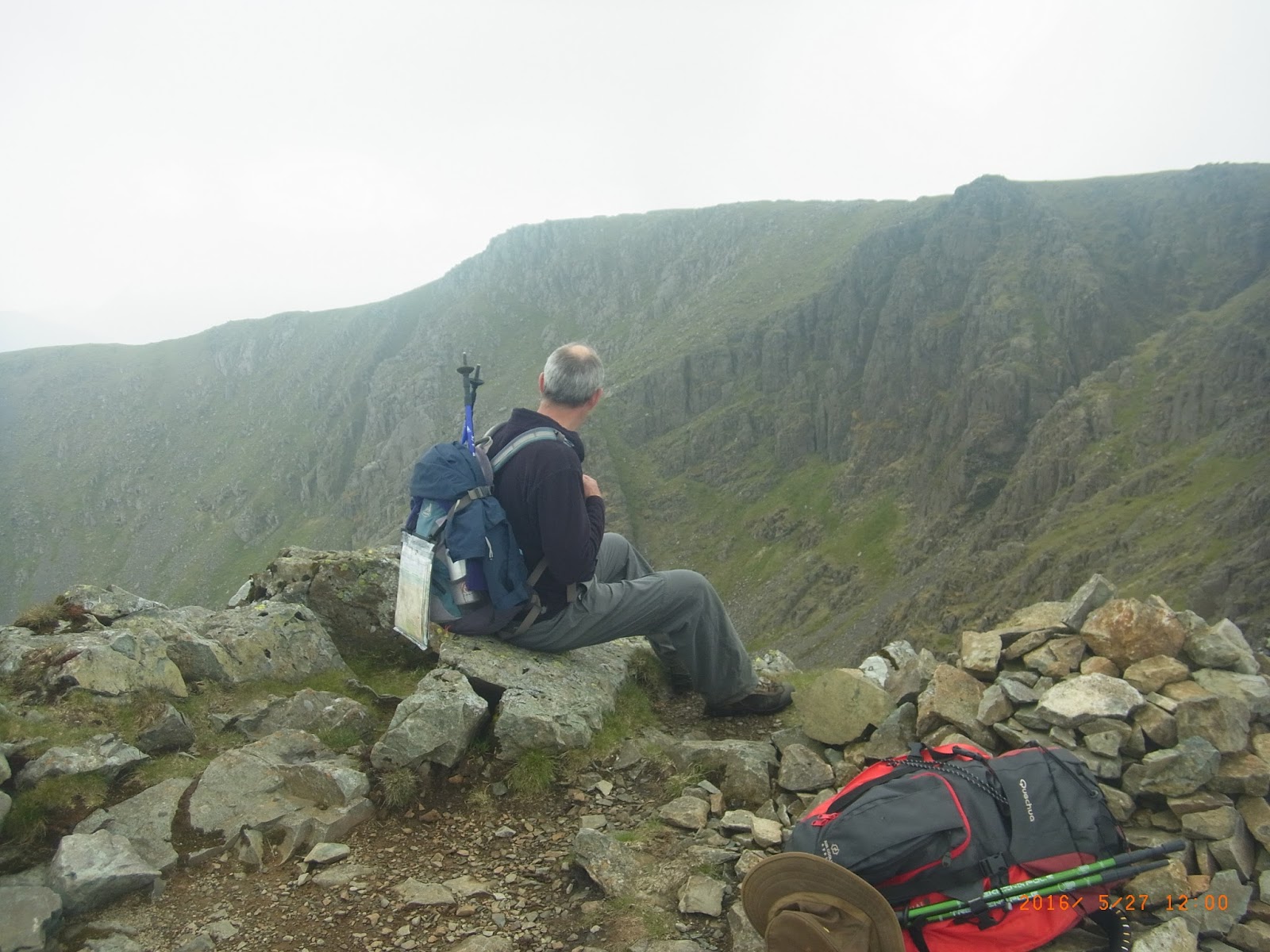
Who is this man ?
We carried on slogging up the slope to the hause between Great Gable and Kirk Fell - Beck Head. By then we were in thick hill fog, and it was an easy decision not to carry on up Kirk Fell. We had a study of the map and determined which path was the correct one to take us down onto the Moses Trod path. We bumped into another couple of climbers on the way down who were looking for windy gap on the way up to Great Gable ....would have been an absolute doddle in clear weather. Shortly after that we heard a voice in the mist 'Help I'm lost'. Eventually emerging out of the mist emerged a woman on her penultimate day of the coast to coast looking for the Black Sail Hut. She was delighted to tag along with us. However, we were still looking for the turn off the path onto the tongue. Checking the map and my Garmin we figured we had gone too far, so started backtracking where we bumped into lost person no 1. On his way down to Wasdale Head he had been advised it would cost him £150 to get a taxi to come from Keswick to pick him up and take to the Honister slate mine car park - ouch. At least this time he was in the right valley heading the right way. We gave him directions and set him on his way.....I hope he got home.
We found the path - called the Tongue on the map, and in just over an hour we arrived at the Black Sail Hut ...what a fantastic place. 


After a great night - good food , beer , company and a game of scrabble (we lost!) we awoke ready for the main event.

Great Gable at the head of the Valley (Friday morning)


Day 2

North end of the route of day 2

South end of the route of day 2


After a cooked breakfast we headed over the footbridge and up the Black Sail pass. Unlike the day before , there was no mist and from the top of the pass the views along the ridgline and across the Mosedale valley were stunning.

Yewbarrow and Dore Head Screes across the valley

From that point the walk was very strenuous - lots of ups and downs , boulder fields , and scrambles. From the top of the pass we headed along the bumpy ridge to the summit plateau of Pillar.


Summit of Pillar

The way towards wind gap and Scoat fell was marked by a series of small cairns. It was quite a tricky descent down to wind gap (with a lot of height loss). From Wind Gap we then had to climb up to Black Crag, and then down and up again to the summit of Scoat Fell with the wall running along the top.
I know - its just a pile of stones - the top of Scoat Fell

 From there we took the path (with a fairly steep drop to the left) to Steeple- or third Wainwright of the day.

Steeple

Top of Steeple


Retracing our steps we crossed back to Scoat Fell and stopped for a snack before heading for our next destination - Red Pike, on the ridge opposite Kirk Fell. We may have missed the summit by following the path just below the ridge....however, we had done the hard work - I claim Red Pike !!


Summit of Red Pike ?
By the time we got to Yewbarrow and took one look at Stirrup Crag above Dore Head we decided that was not for today,so we took our rucksacks off and had a lovely lie down next to a small pool/tarn at the foot of Stirrup Crag.


Not today - too steep


 We took the footpath which leads around the flank of Yewbarrow and then eventually back down to Wasdale, where we had a cup of tea at the pub and met up with Jon , who we met the night before at the Black Sail Hostel.

Unfortunately, most of the pics I took in the afternoon didn't come out too well due to the hazy conditions (and my lack of skill !!)


Another stunning (but tiring) walk in the Western Lake District. 4 Wainwrights for the day

About 9 miles OS OL 4


Shining Cliff Woods Cromford Canal 11/08/26

 Despite the heat I needed to have a day out walking different from the various footpaths direct from home. Usual route - park up at Amberga...