This was a lovely 55 mile trek though Derbyshire from Ladybower to Shardlow. I thought I could do it in three days , but after the first two 17 mile days I needed a rest day on the Wednesday, and then finished with a further two days on Thursday and Friday. The Jarrold walking guide (compiled by Kevin Borman) along with occasional use of the OS maps app, and the distinctive purple waymark discs made the navigation very straightforward.
Day 1 Ladybower to Rowsley Oct 4th
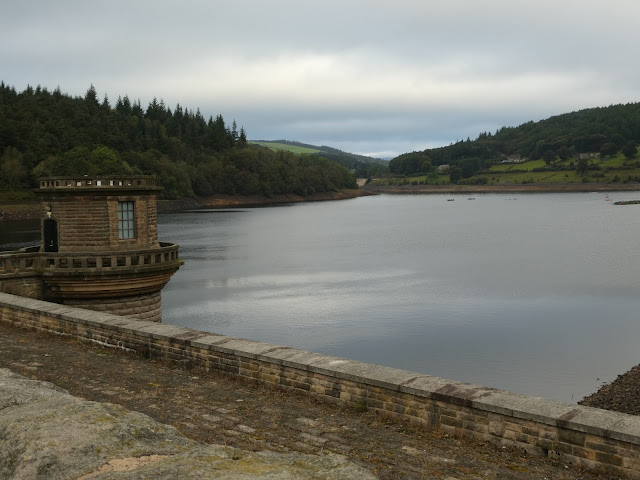
Anne dropped me off at the Heathdeane car park north of Bamford, opposite Ladybower, and soon I was heading south on the Thornhill trail which is the route of a disused railway (used during the construction of Ladybower).
 |
| One of the Bamford millennium touchstones along this section |
 |
| Thornhill Trail |
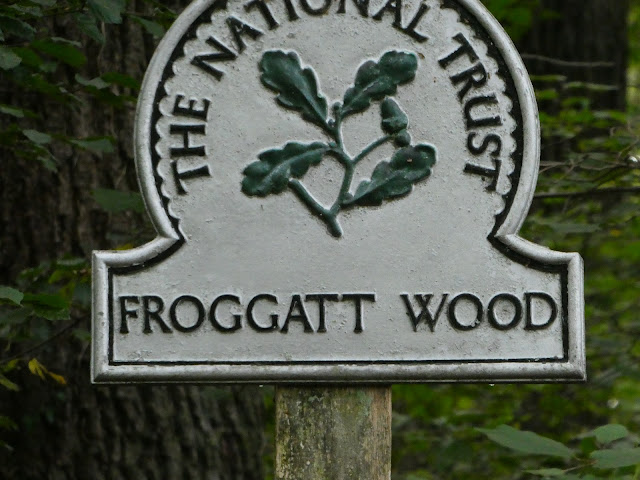
As mentioned the easy navigation passes close to Bamford, Hathersage, Grindleford, Froggat ,Curbar and Calver before arring in Baslow.
 |
| Bamford Edge |
 |
 |
| Froggat Bridge |
 |
| Wier just before entering Baslow |
I bought a sandwich from the co-op in Baslow and then walked up to the village green for a mid-day break.
From there it was the wander across the Chatsworth Estate to Rowsley via Calton Lees.
 |
| View of the Derwent in Chatsworth |
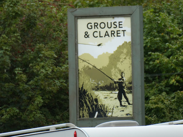
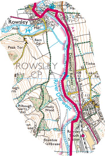
From Chatsworth the trail took me through Calton Lees to Rowsley and the Grouse and Claret.
Day 2 Rowsley to Belper 5th Oct
After a good nights sleep I left the pub as soon as it was light (7 AM).
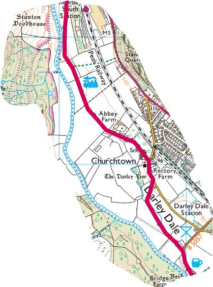
The trail from Rowsley to Matlock closely follows the Derwent passing through Darley Dale on the way. By the time I arrived in Matlock the shops were open, so it would have been rude not to buy a bacon and sausage sandwich, before the only uphill part of the trek. After a nice break in the park I followed the trail to the top of Pic Tor where there is a war memorial, and then up to High Tor with magnificent views from both.
 |
| Darley Dale cricket club |
 |
| the park in Matlock |
 |
| Matlock from Pic Tor |
 |
| Riber castle |
 |
| War Memorial |
 |
| Looking down on the A6 from High Tor |
The trail dropped down to the A6 in Matlock bath near the lower cable car station. It was then a walk along the A6 before arriving at Cromford. There was a short section off road behind the mill complex before arriving at Cromford Wharf.
I bought a welcome cup of tea and sausage roll at the Wharf and had a short break. Because there was now several miles of hard flat canal tow path I decided to take off my boots and put my Altra trail shoes, which proved to be a good choice. The trail along the canal went as far as the Case road bridge, followed by a short section on the A6, past the Hurt Arms and up towards the edge of Shining Cliff Woods. After a short section along the edge of some woodland called The Birches, the trail emerged onto a minor road (Whitwells Road). After following the road for 1K, there was aa few fields to cross before meeting Wyver Lane which took me all the way into Belper emerging at Belper Bridge.
 |
| Matlock Bath |
 |
| St Marys Church Cromford |
 |
| Cromford Wharf |
 |
| Wyver Lane |
 |
| View from Belper Bridge |
Anne picked me up as Belper is only a few miles from home. A terrific days walking. Approx 17 miles.
Day 3 - Rest Day
After two high mileage days I could barely stand on my left ankle , so decided to have a rest day, and complete the rest of the trail in two days rather than one.
Day 4 Oct 7 Belper to Derby
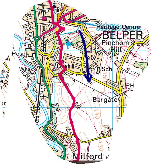
Both ankles felt OK after a days rest. Compared to the first two days this felt like a walk in the park, and for a couple of sections it was! I opted for my trail shoes again, and after Anne dropped me off at Belper market square I was on my way again. After crossing Belper park the trail left Belper via Wildersley Road which is a farm track.
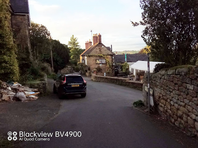
The trail passed high up on the valley looking down to Milford before arriving into Makeney passing the listed Hollybush Inn.
 |
| Milford |
 |
| Wildersley Lane leaving Belper |
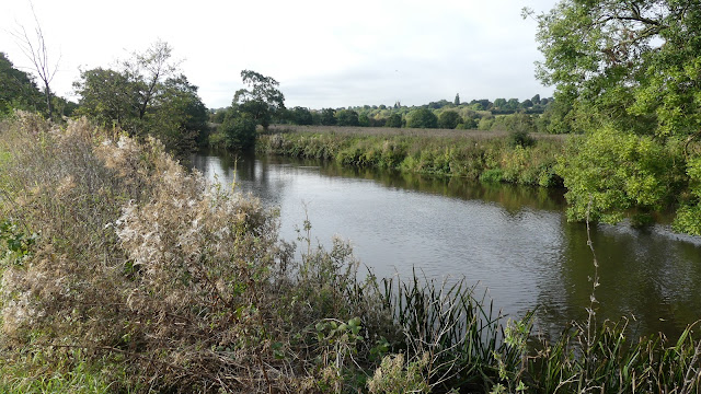
After a road section down to the Bridge inn at Duffield the trail then crossed fields and footpaths close to the river before reaching Little Eaton. From Little Eaton there was a section along a cycle track parallel to Alfreton Road, before crossing under the A38 and following the Derwent all the way into Derby via Darley Abbey. I really enjoyed this leg of the trail.
 |
| The cathedral on maximum zoom after just passing under the A38 |
 |
| Turf growing |
 |
| Darley Abbey |
 |
| Darley Park |
Todays leg finished at the Council buildings where I caught the H1 home. A really enjoyable half days walking. About 10 miles.
Day 4 Oct 8th.Derby to Shardlow
Slightly later start today, because I couldn't catch the bus with my pass until after 9:30. Starting at the Council Buildings the riverside path goes all the way to Borrowwash Bridge.
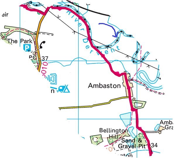
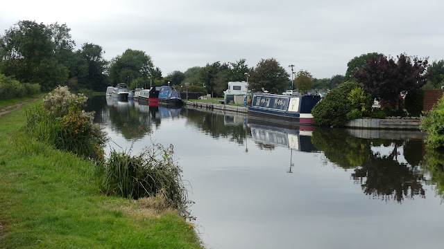
After Borrowash Bridge the trail followed footpaths across fields into the village of Ambaston. At this point we don't see the Derwent again until the end of the trail. From Ambaston there is around 3 miles of tarmac walking (including the trent mersey canal towpath to the end)
 |
| Derwent Mouth where the Derwent meets the Trent |
The end of a thoroughly enjoyable 4 day trek following the Derwent all the way from Ladybower through Derbyshire to the point where the Derwent joins with the River Trent.
Here is a link to a few video clips along the way :-


















No comments:
Post a Comment